To my wonder and amazement, last week I "accidentally" noticed this informative map displayed at the parking area for Forest Road 181, aka American Spring Road. Over the years, I have not seen much of interest posted here by the forest service so I basically ignored the brown, roofed structure. It looked decrepit. The week before, though, I saw a forest service employee busily sprucing it up. It looked like he was applying stain. Maybe that's when the map was posted.
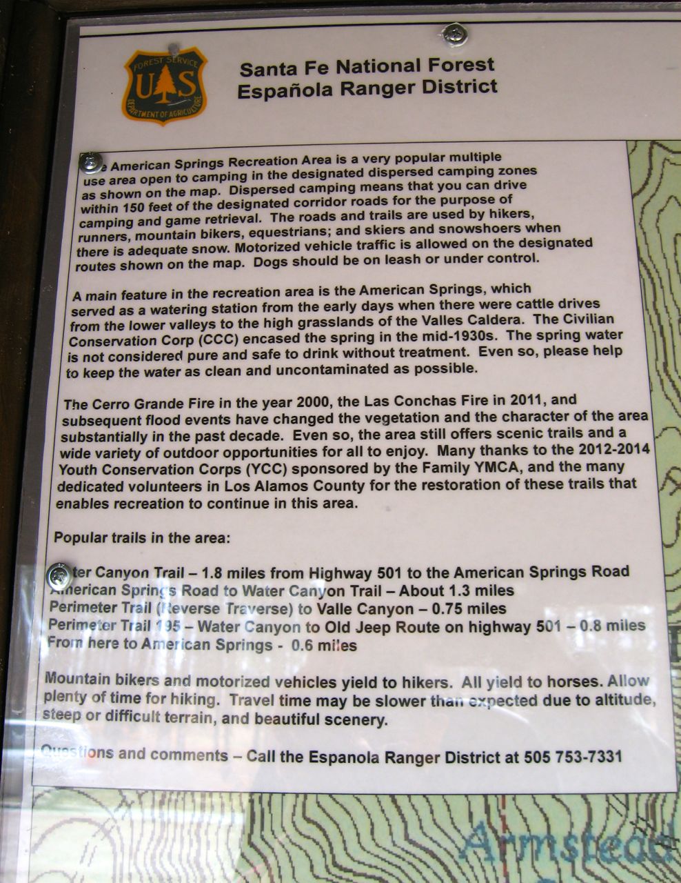
The map shows the trails for the "American Springs Recreation Area" and where dispersed camping is allowed and which roads vehicles can drive on per Santa Fe National Forest's Travel Management Plan. Kind of neat to see such helpful signage!


No comments:
Post a Comment