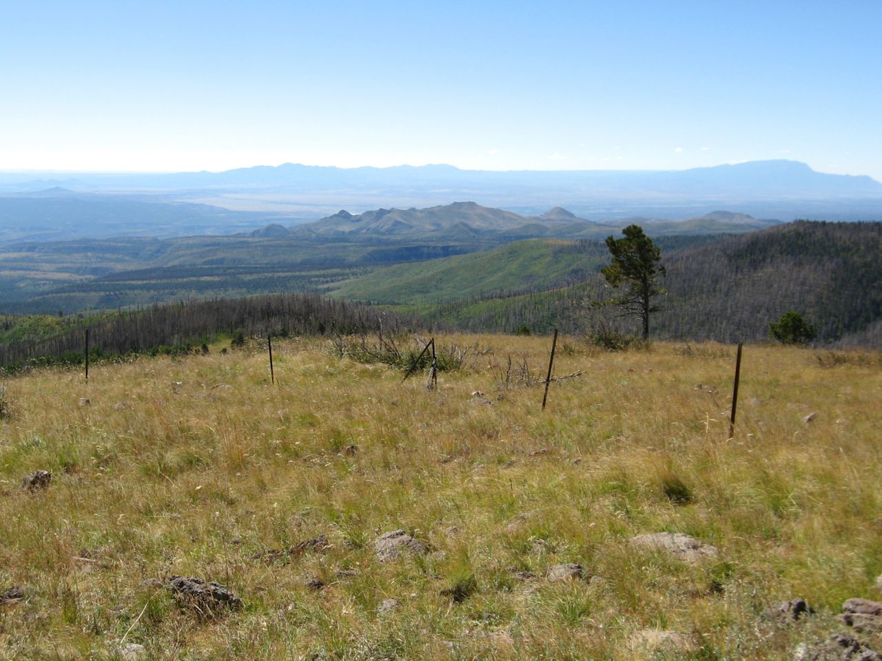
Thursday, November 5, 2015
Friday, October 16, 2015
Don't Want to Stay Indoors
This week, driving back from yet another wonderful hike in the gorgeous autumn, listening to country songs of yearning on KRSN, I had my own wild yearnings as I passed one trailhead after another. I was tempted to stop at every one and take a second hike just to remain outside in the achingly beautiful fall we're having. At the same time, prudence gently warned that if I took two hikes everyday, I'd soon wear myself out. But...what a way to go!!
![]() |
| Thimbleberry leaves along Cañada Bonita Trail |
![]() |
| Aspens in Cañada Bonita meadow |
Friday, October 9, 2015
Foggy Fall Hike on Pajarito Mountain
"One misty, moisty morning, when cloudy was the weather..." Mother Goose Rhyme.
![]() |
| Last Monday morning, Pajarito Mountain's Zero Road East at hairpin turn which overlooks the townsite (Los Alamos). No town visible - just mounds of whipped-cream fog and clouds. |
![]() |
| Camp May Road below. Beyond, fog rising up out of Los Alamos Canyon. |
![]() |
| Townsight lift at Pajarito Mountain Ski Area. |
![]() |
| Caballo Mountain (meadow), left and Quemazon/Rendija Mountain (two peaks), right. A touch of fall colors the ski hill. |
Monday, September 21, 2015
Short Jaunt on VC09 Pipeline Road into Valles de los Posos
Wednesday, September 16, 2015
Fiery Fireweed
Monday, September 14, 2015
Taperleaf - Pericome Caudata - Along Nail Trail
A friend from the Nature Center wanted photos of a flowering plant, Taperleaf or Pericome Caudata. I promised that I would go back to the Nail Trail last Thursday to capture a portrait of said plant. Well, last Wednesday evening is when a jogger was attacked by a mother bear in Valle Canyon which is just a mile or so down West Jemez Road from where the plants grow alongside the Nail Trail.
After taking the photos, I continued up the Nail Trail, past the short, rocky section to where the trail opens up, flattens slightly and turns left. Right there is where I heard a moan - could have been a vehicle on West Jemez Road but it certainly sounded like an animal. I scanned the thick growth of mullein but didn't see anything. Just in case, I picked up a thick stick and held it above my head to look tall and continued hiking uphill. Soon, I tossed that and picked up an even stouter stick which I clattered along the ground behind me to not surprise any bears. I honestly (perhaps, stupidly!) dragged that stick for a long time and I found a different way back down to my car.
![]() |
| Taperleaf - Pericome Caudata |
Yeamans Bench
Last Tuesday, I walked up the west jeep road on Pajarito Mountain. When I got to the top, within sight of the holding pond, instead of continuing down the east jeep road, I strolled west over to Rim Run to admire the view into the Valles Caldera. Then, because it remained a splendid day with no threat of thunderstorms and not a reason in the world to hurry, I retraced my steps to the Mother Lift where I took a trail in the woods to the Yeamans Bench.
![]() |
| The bench is situated on the south side of Pajarito Mountain and has sweeping views on which to contemplate. |
Thursday, September 3, 2015
Tough As Nails - Not Me!
Thursday, August 27, 2015
Hikes from Past Week
![]() |
| From Frey Trail, Bandelier National Monument - clouds building. They "produced" on the drive home. |
![]() | |||||||||
| Along Canyon Rim Trail, yellow prairie coneflowers. |
![]() |
| Keddy Lake between Peralta Ridge and Cerro Pelado in Paliza Canyon. Who is it named after? |
![]() |
| Playing Heidi on Pajarito Mountain - took jeep roads up west side and down east side from the ski lodge. |
Wednesday, March 18, 2015
Notes to Self on Burnt Mesa Eagle Traps
The Monday group hiked to the Burnt Mesa Eagle Traps. There were 8 of us - the group is growing! I recently conscripted a friend to pre-hike to the Eagle Traps with me and what a good idea that was! On the pre-hike, I kept prematurely looking for what I call the bonus deer trap, which is a package deal along with the 2 eagle traps. Today, though, I knew just where to find it! (This somewhat relates to a cartoon that a hiking member sent out recently - "What do we want? Better memory! When do we want it? Want what??") But I know that by the next time I hike to the eagle traps, I will forgot again where the bonus deer trap is.
So, here are notes to jog my future memory (assuming I still have one): The important part is that the bonus deer trap is almost 2 miles into the hike - you are very close to the eagle traps at that point. The deer trap is located on a shelf just below and south of the mesa ridge. At its eastern end, the shelf is easily accessed by a short downhill on what looks almost like a wide, rocky road. Be careful not to trip on the metal stake that marks the deer trap as an archeological feature. My hiking friends call it a deer trap since it's wide and shallow. After visiting the deer trap, continue a little east of south and uphill. You will see almost a path at times, created by past visitors to the eagle traps. At some junipers, go downhill, over rocks, to the pair of narrow, deep eagle traps perched at the edge of Frijoles Canyon.
Subscribe to:
Posts (Atom)